

Getmapping Viewer 2.0
Getmapping Viewer is an easy to use aerial photo and mapping viewer
Program info
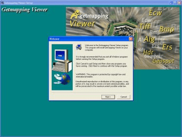
Getmapping Viewer is an easy to use aerial photo and mapping viewer featuring interactive roaming, zooming, measuring tools and more.
Main features:
- Save imagery as TIFF, JPEG, BMP, ERS, and BIL directly from ER Viewer.
- View ECW images served by an Image Web Server. See www.EarthEtc.com for demo images.
- View local images larger than 4GB.
- A refresh button has been added which will redisplay an image. This is useful when displaying an image over a slow internet connection.
- Improved OLE functionality.
- Very fast interactive roaming and zooming of image files
- Display and printing of very large image files
- Support for a wide range of image formats
- Simple to use
- Ability to integrate ER Viewer images into OLE-aware applications* such as Microsoft Word and Power Point
- Allows user to open multiple image windows
- Measures distances on the ground
Details
Extensions
Old versions

No information available
The data will be available later.Awards

There are no awards
Over time, app awards will appear here.


Comments